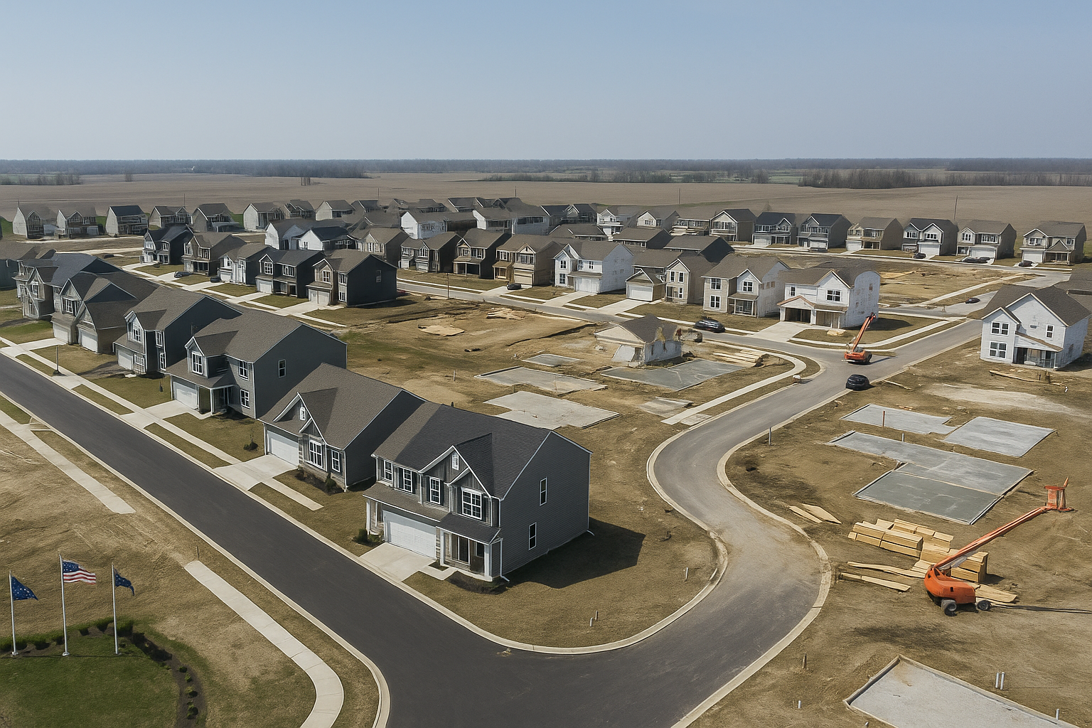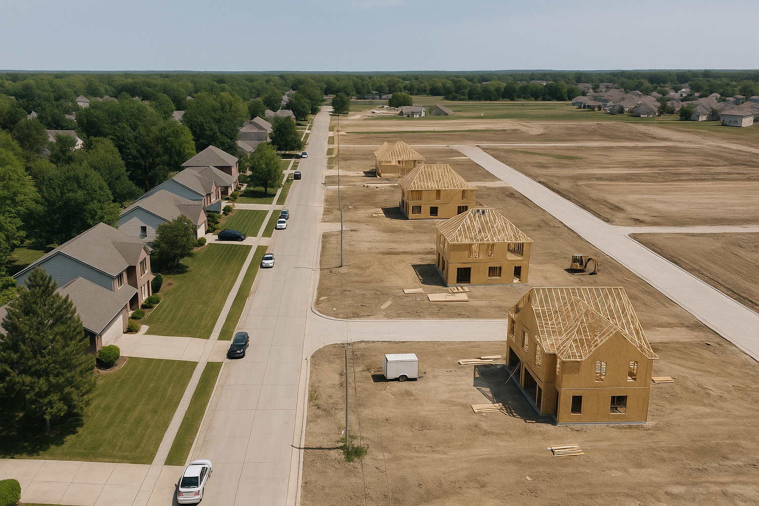

The Mt. Comfort Corridor, Read From the Record
Thirteen miles, five planning segments, a multi-municipality coalition and a 2019 Urban Land Institute panel that modelled two housing futures for it. The industry markets these towns separately. The municipalities plan them together.
One Corridor, Marketed as Four Separate Towns
There is a thirteen-mile stretch of Hancock County that has a coalition, a regional development plan and a 2019 Urban Land Institute study behind it. Its municipalities have been working toward a consistent cross-jurisdiction land-use plan, which is an unusual thing for separate towns to agree to do.
Almost nobody selling real estate here talks about it that way, because telling the story means treating four towns as one place. That gap is the reason this page exists.
How the Panel Divides the Corridor
The 2019 Urban Land Institute panel divides the corridor into five discrete segments, each with its own role: McCordsville and the northern gateway, the airport and industrial district, the I-70 interchange area, the Cumberland Opportunity District, and the stretch north of New Palestine that forms the southern gateway. The Indianapolis Regional Airport and the logistics terminals north of I-70 sit inside the corridor as its industrial district. The four places below are the ones a buyer will meet by name.
McCordsville
The corridor's north-west end, in the north-west corner of Hancock County, bordering Fishers and Lawrence. It has grown 859.4 percent since 2000 and carries most of the corridor's residential momentum. Read the McCordsville guide.
Hancock Health Center
Inside the panel's Cumberland Opportunity District, an emerging medical node on the south-west quadrant of the I-70 interchange, with walkable mixed-use development proposed around it. It is frequently left out of casual descriptions of the corridor, which is a good test of whether a source has read the report.
Cumberland
A coalition member sitting on the Marion and Hancock county line, where the corridor meets the older eastern edge of Indianapolis.
New Palestine
The corridor's southern end, on US-52, and the town Jim lives and works in. Southern Hancock schools drive demand here. Read the New Palestine guide.
What the Plan Puts on Paper
Two housing scenarios rather than one number
The ULI panel modelled development potential through 2030 two ways. A status-quo scenario, in which the corridor keeps its current share of growth under the current land-use pattern, comes to roughly 1,500 single-family and 250 attached units. An upside scenario, in which a more varied land-use pattern is established, comes to roughly 3,000 single-family and 2,000 attached units. Both are scenarios in an advisory report rather than a plan commitment, and the gap between them is the point.
Boulevard, roundabouts, trail
The physical programme is a boulevard upgrade, roundabouts, signage and a trail, with mixed-use development at the town centres and the I-70 interchange. Specific commitments, which means they can be checked against what actually gets built.
A coordinated land-use plan
McCordsville, Cumberland and New Palestine working toward consistent zoning across jurisdictions is the strongest signal in the record. Towns rarely give up that much independence without intent.
A 2019 ULI study underneath it
The Urban Land Institute work is what the implementation sits on, which is why the corridor reads as a plan rather than an aspiration.
You Can Look Up What Happens Next Door
The practical value of all this is narrow and real: along this corridor, the question every buyer asks and almost nobody can answer has a published answer. Ask what is zoned and platted around a specific address, and read the plan for the segment nearest it.
That is worth doing before you write an offer rather than after you close, and it is the check I run for anyone buying in this part of the county.
The Limits of This Page
This page is built on the 2019 Urban Land Institute panel report, the corridor plan documents, the coalition's materials and reporting on them. It is not built on a line-by-line reading of the county's two-hundred-page comprehensive plan.
So if you are making a large decision on the strength of the corridor story, read that document's land-use chapter directly rather than relying on any summary, including this one. I would rather show you the edge of my checking than let a confident tone imply more than I verified.
Questions About the Corridor
What is the Mt. Comfort corridor?
A defined corridor of just over thirteen miles in western Hancock County, from McCordsville in the north to New Palestine in the south, backed by a coalition of businesses and municipalities, a regional development plan, and a 2019 Urban Land Institute study. It is a real planning entity rather than a marketing label.
How does the plan divide the corridor?
The 2019 ULI panel identifies five segments: McCordsville and the northern gateway, the airport and industrial district, the I-70 interchange area, the Cumberland Opportunity District, and north of New Palestine as the southern gateway. The Indianapolis Regional Airport sits inside the corridor as part of its industrial district.
How much new housing is planned?
The ULI panel did not set a target. It modelled two scenarios for development potential through 2030: roughly 1,500 single-family and 250 attached units if the corridor keeps its current land-use pattern, and roughly 3,000 single-family and 2,000 attached units if a more varied pattern is established. The physical programme alongside them is a boulevard upgrade, roundabouts, signage, a trail and mixed-use development at the town centres and the I-70 interchange.
Which towns are in the coalition?
Coalition membership includes McCordsville, Cumberland and New Palestine, and those municipalities have been working toward a consistent cross-jurisdiction land-use plan.
Why does the corridor matter if I am just buying one house?
Because it tells you what is likely to be built near you. Most buyers cannot find out what happens to the field behind a house. Along this corridor the answer is in a public plan, and checking it before you write an offer is straightforward.
Is the corridor a good bet?
The infrastructure commitments and the housing scenarios are documented rather than speculative, which is unusual. That is not the same as a prediction about prices, and anyone who gives you one is guessing.

Jim Bardes
eXp Realty · Certified New Home Co-Broker (NHCB)
Central Indiana across Marion, Hamilton, Hancock and Johnson counties, working the corridor from a base in New Palestine.
Narrow it down.
Send me an address along the corridor and I will tell you what is zoned and platted around it before you tour. The call carries no obligation, and I answer my own phone.
Jim Bardes · eXp Realty · Equal Housing Opportunity. Planning figures are drawn from published municipal and regional planning documents, are subject to change, and are not a prediction of property values. Information is deemed reliable but not guaranteed and should be independently verified.